चित्र:South America-en.svg

Size of this PNG preview of this SVG file: 528 × 600 पिक्सेल. अउरी रिजोल्यूशन: 211 × 240 पिक्सेल | 423 × 480 पिक्सेल | 676 × 768 पिक्सेल | 901 × 1,024 पिक्सेल | 1,803 × 2,048 पिक्सेल | 530 × 602 पिक्सेल.
ओरिजनल फाइल (एसवीजी फाइल, नॉमिनली 530 x 602 पिक्सल, फाइल के आकार: 183 KB)
सारांश
| बिबरण |
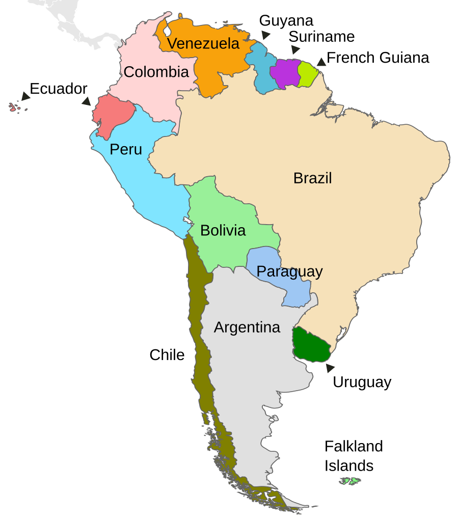
English: Political map of South America |
||
| तारीख | |||
| स्रोत | Own work based on: Map-Latin America.svg by Yug | ||
| लेखक | DavoO | ||
| Other versions |
Derivative works of this file:
|
||
| SVG genesis |
|
लाइसेंसिंग
ई फाइल Creative Commons Attribution-Share Alike 3.0 Unported लाइसेंस की तहत लाइसेंसी बा।
- आप फ्री बानी:
- साझा करे खातिर – रचना के नकल करे, बाँटे आ दुसरी जगह भेजे खातिर
- रीमिक्स करे खातिर – काम के अपनी हिसाब से बनावे खातिर
- नीचे दिहल कारणन की तहत:
- एट्रीब्यूशन – लाइसेंस के कड़ी दे के उचित श्रेय (क्रेडिट) दिहल जरूरी बा आ अगर कौनों बदलाव कइल गइल बा तब ओहू के बतावल जाए के चाहीं। आप ई काम कौनों उचित तरीका से क सकत बानी, बाकी ई न झलके के चाहीं की जेकरा लगे लाइसेंस बा ऊ राउर चाहे राउर काम के समर्थन करत बाटे या सही बतावत बा।
- शेयर अलाइक (share alike) – अगर आप एह सामग्री के आधार बना के कुछ रिमिक्स करत बानी, रूप बदलाव करत बानी, चाहे कुछ जोड़ के सामग्री के बढ़ावत बानी, आपके आपन योगदान ठीक एही या कंपेटिबल लाइसेंस जइसन कि ओरिजनल बाटे, के तहत होखे के चाहीं।
Original upload log
This image is a derivative work of the following images:
- Map-Latin America.svg licensed with PD-user
- 2009-04-28T12:13:37Z Kmusser 1000x1250 (264765 Bytes) Missed Saint-Martin
- 2009-04-27T14:24:40Z Kmusser 1000x1250 (265076 Bytes) added french speaking areas, subtracted english and dutch speaking areas
- 2009-03-20T22:24:11Z DavoO 1000x1250 (265673 Bytes) {{Information |Description= |Source=*[[:File:Map-Latin_America2.png|]] |Date=2009-03-20 22:22 (UTC) |Author=*[[:File:Map-Latin_America2.png|]]: '''Yug''' *derivative work: ~~~ |Permission=see below |other_versions= }} {{Reto
Uploaded with derivativeFX
फाइल के इतिहास
ओ समय ई फाइल कइसन लउके ई देखे खातिर कौनों तारीख/समय पर क्लिक करीं।
| तारीख/समय | चिप्पी रूप | डाइमेंशन | प्रयोगकर्ता | टिप्पणी | |
|---|---|---|---|---|---|
| वर्तमान | 14:03, 23 दिसंबर 2010 | | 530 × 602 (183 KB) | Kmusser | delete square |
| 11:02, 22 दिसंबर 2010 |  | 530 × 602 (183 KB) | Themightyquill | unexplained black square? | |
| 11:00, 22 दिसंबर 2010 |  | 530 × 602 (183 KB) | Themightyquill | Falklands, central america connection | |
| 10:28, 22 दिसंबर 2010 |  | 530 × 602 (165 KB) | Themightyquill | move "argentina" | |
| 10:27, 22 दिसंबर 2010 |  | 530 × 602 (165 KB) | Themightyquill | fix spelling | |
| 10:24, 22 दिसंबर 2010 |  | 530 × 602 (164 KB) | Themightyquill | {{Information |Description={{en|Map of countries in South America}} |Source=*File:Map-Latin_America.svg |Date=2010-12-22 10:23 (UTC) |Author=*File:Map-Latin_America.svg: *Map-Latin_America2.png: '''Yug''' *deri |
फाइल के उपयोग
फाइल के इस्तेमाल पन्ना करत बा:
बैस्विक फाइल उपयोग
नीचे दिहल अउरी विकिसभ पर एह फाइल के इस्तेमाल हो रहल बा:
- bn.wikipedia.org पर इस्तेमाल
- en.wikipedia.org पर इस्तेमाल
- fr.wikipedia.org पर इस्तेमाल
- incubator.wikimedia.org पर इस्तेमाल
- ta.wikipedia.org पर इस्तेमाल
- zh.wikipedia.org पर इस्तेमाल