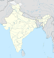
चित्र:India location map2.svg

Size of this PNG preview of this SVG file: 557 × 600 पिक्सेल. अउरी रिजोल्यूशन: 223 × 240 पिक्सेल | 446 × 480 पिक्सेल | 713 × 768 पिक्सेल | 951 × 1,024 पिक्सेल | 1,902 × 2,048 पिक्सेल | 1,500 × 1,615 पिक्सेल.
ओरिजनल फाइल (एसवीजी फाइल, नॉमिनली 1,500 x 1,615 पिक्सल, फाइल के आकार: 1.69 MB)

|
The boundaries on this map show the de facto situation. This is just one of several different views on the subject (see COM:NPOV). |
सारांश
| बिबरण |
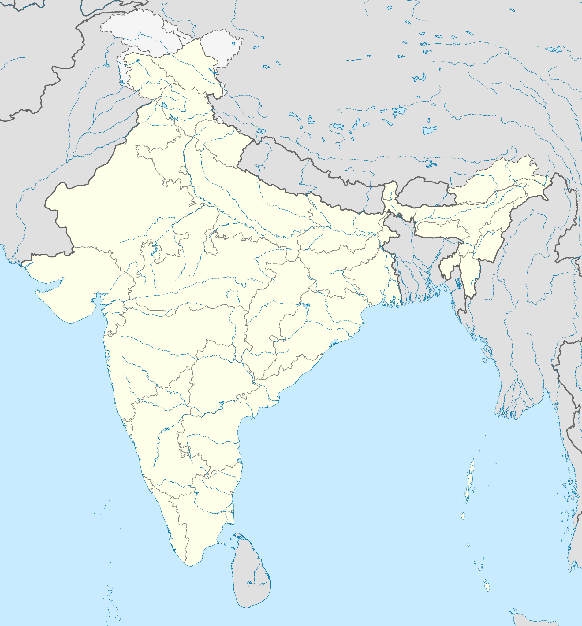
English: Location map of India. Equirectangular projection. Strechted by 106.0%. Geographic limits of the map: * N: 37.5° N * S: 5.0° N * W: 67.0° E * E: 99.0° E Made with Natural Earth. Free vector and raster map data @ naturalearthdata.com. |
| तारीख | |
| स्रोत | Own work based on: File:India location map.svg by Uwe Dedering at de:Wp |
| लेखक | AshwiniKalantri |
| Other versions |
[]
|
| SVG genesis |


लाइसेंसिंग
I, the copyright holder of this work, hereby publish it under the following licenses:
ई फाइल Creative Commons Attribution-Share Alike 3.0 Unported लाइसेंस की तहत लाइसेंसी बा।
- आप फ्री बानी:
- साझा करे खातिर – रचना के नकल करे, बाँटे आ दुसरी जगह भेजे खातिर
- रीमिक्स करे खातिर – काम के अपनी हिसाब से बनावे खातिर
- नीचे दिहल कारणन की तहत:
- एट्रीब्यूशन – लाइसेंस के कड़ी दे के उचित श्रेय (क्रेडिट) दिहल जरूरी बा आ अगर कौनों बदलाव कइल गइल बा तब ओहू के बतावल जाए के चाहीं। आप ई काम कौनों उचित तरीका से क सकत बानी, बाकी ई न झलके के चाहीं की जेकरा लगे लाइसेंस बा ऊ राउर चाहे राउर काम के समर्थन करत बाटे या सही बतावत बा।
- शेयर अलाइक (share alike) – अगर आप एह सामग्री के आधार बना के कुछ रिमिक्स करत बानी, रूप बदलाव करत बानी, चाहे कुछ जोड़ के सामग्री के बढ़ावत बानी, आपके आपन योगदान ठीक एही या कंपेटिबल लाइसेंस जइसन कि ओरिजनल बाटे, के तहत होखे के चाहीं।
This file is licensed under the Creative Commons Attribution-Share Alike 3.0 Germany license.
- आप फ्री बानी:
- साझा करे खातिर – रचना के नकल करे, बाँटे आ दुसरी जगह भेजे खातिर
- रीमिक्स करे खातिर – काम के अपनी हिसाब से बनावे खातिर
- नीचे दिहल कारणन की तहत:
- एट्रीब्यूशन – लाइसेंस के कड़ी दे के उचित श्रेय (क्रेडिट) दिहल जरूरी बा आ अगर कौनों बदलाव कइल गइल बा तब ओहू के बतावल जाए के चाहीं। आप ई काम कौनों उचित तरीका से क सकत बानी, बाकी ई न झलके के चाहीं की जेकरा लगे लाइसेंस बा ऊ राउर चाहे राउर काम के समर्थन करत बाटे या सही बतावत बा।
- शेयर अलाइक (share alike) – अगर आप एह सामग्री के आधार बना के कुछ रिमिक्स करत बानी, रूप बदलाव करत बानी, चाहे कुछ जोड़ के सामग्री के बढ़ावत बानी, आपके आपन योगदान ठीक एही या कंपेटिबल लाइसेंस जइसन कि ओरिजनल बाटे, के तहत होखे के चाहीं।


|
जीएनयू फ्री डाकुमेंटेशन लाइसेंस, वर्जन 1.2 या फिर कौनो भी बाद के प्रकाशित फ्री साफ्टवेयर फाउंडेशन लाइसेंस के शर्त के तहत, एह डाकुमेंट के नकल करे, बितरण करे आ/भा बदलाव करे के परमीशन दिहल गइल बा; एह में इनवैरिएंट खंड सभ नइखे शामिल, मुखपृष्ट के पाठ नइखे शामिल, आ बैक-कभर के पाठ नइखे शामिल। लाइसेंस के एगो प्रति जीएनयू फ्री डाकुमेंटेशन लाइसेंस नाँव के खंड में दिहल गइल बा। |
रउआँ अपनी जरूरत के लाइसेंस बीछ सकत बानीं।
Original upload log
This image is a derivative work of the following images:
- File:India location map.svg licensed with Cc-by-sa-3.0, Cc-by-sa-3.0-de, GFDL
- 2011-01-18T16:10:27Z Uwe Dedering 1500x1615 (2478400 Bytes) Reverted to version as of 15:50, 17 January 2011 and again, layer structure destroyed, and first discuss this!
- 2011-01-17T19:04:20Z AshwiniKalantri 1500x1615 (1593649 Bytes) The disputed land of Kashmir are shown in a different shade.
- 2011-01-17T15:50:03Z Uwe Dedering 1500x1615 (2478400 Bytes) Reverted to version as of 11:34, 22 September 2010 vandalism
- 2011-01-16T23:30:30Z AshwiniKalantri 1500x1615 (2104259 Bytes) {{Information |Description=Location Map of India |Source= |Date= |Author= |Permission= |other_versions= }}
- 2010-09-22T11:34:41Z BishkekRocks 1500x1615 (2478400 Bytes) The area north of the Siachen Glacier is also part of Chinese-controlled Kashmir.
- 2010-08-31T16:36:47Z Uwe Dedering 1500x1615 (2412750 Bytes) Coloured Pakistani-controlled parts of Kashmir in dark grey & Chinese-controlled Kashmir also. no reason to treat them differently.
- 2010-08-31T11:26:31Z AnonyLog 1500x1615 (2104259 Bytes) A lighter shade is used for uniformity with other maps of India and Pakistan on Wikipedia.
- 2010-05-05T16:44:39Z Uwe Dedering 1500x1615 (2412750 Bytes) Reverted to version as of 12:26, 3 March 2010 make them dark-grey if you wish....
- 2010-05-05T15:43:19Z BishkekRocks 1500x1615 (2104259 Bytes) Coloured Pakistani-controlled parts of Kashmir in light grey (like Chinese-controlled Kashmir). Alternatively colour both in dark grey, no reason to treat them differently.
- 2010-03-03T12:26:13Z Uwe Dedering 1500x1615 (2412750 Bytes) {{Information |Description={{en|Location map of India. Equirectangular projection. Strechted by 106.0%. Geographic limits of the map: * N: 37.5° N * S: 5.0° N * W: 67.0° E * E: 99.0° E Made with Natural Earth. Free vector
Uploaded with derivativeFX
फाइल के इतिहास
ओ समय ई फाइल कइसन लउके ई देखे खातिर कौनों तारीख/समय पर क्लिक करीं।
| तारीख/समय | चिप्पी रूप | डाइमेंशन | प्रयोगकर्ता | टिप्पणी | |
|---|---|---|---|---|---|
| वर्तमान | 13:48, 14 अक्टूबर 2020 | | 1,500 × 1,615 (1.69 MB) | NordNordWest | upd Telangana/Andhra Pradesh |
| 10:58, 2 नवंबर 2019 |  | 1,500 × 1,615 (1.65 MB) | NordNordWest | upd Jammu and Kashmir | |
| 08:59, 3 जून 2014 |  | 1,500 × 1,615 (1.63 MB) | NordNordWest | + Telangana | |
| 12:58, 11 जून 2012 |  | 1,500 × 1,615 (1.54 MB) | NordNordWest | adding waterbodies | |
| 20:30, 25 फरवरी 2011 |  | 1,500 × 1,615 (1.57 MB) | AshwiniKalantri | {{Information |Description={{en|Location map of India. Equirectangular projection. Strechted by 106.0%. Geographic limits of the map: * N: 37.5° N * S: 5.0° N * W: 67.0° E * E: 99.0° E Made with Natural Earth. Free vector and raster map data @ natural |
फाइल के उपयोग
फाइल के इस्तेमाल 3 पन्ना करत बाड़ें:
बैस्विक फाइल उपयोग
नीचे दिहल अउरी विकिसभ पर एह फाइल के इस्तेमाल हो रहल बा:
- als.wikipedia.org पर इस्तेमाल
- as.wikipedia.org पर इस्तेमाल
- az.wikipedia.org पर इस्तेमाल
- de.wikipedia.org पर इस्तेमाल
- Indien
- Varanasi
- Bhopal
- Taj Mahal
- Rajgir
- Dharamsala
- Neu-Delhi
- Mumbai
- Kolkata
- Darjeeling (Stadt)
- Prayagraj
- Ahmedabad
- Chandigarh
- Amritsar
- Chennai
- Bengaluru
- Tharangambadi
- Qadian
- Hyderabad (Indien)
- Kozhikode
- Agartala
- Pune
- Agra
- Auroville
- Hampi
- Sarnath
- Jaipur
- Leh
- Katastrophe von Bhopal
- Mahe (Indien)
- Deoband
- Srinagar
- Vrindavan
- Velha Goa
- Patna
- Bodhgaya
- Madurai
- Kanpur
- Surat
- Lucknow
एह फाइल के अउरी बैस्विक इस्तेमाल देखीं