चित्र:USA Ohio location map.svg

Size of this PNG preview of this SVG file: 505 × 600 पिक्सेल. अउरी रिजोल्यूशन: 202 × 240 पिक्सेल | 404 × 480 पिक्सेल | 646 × 768 पिक्सेल | 862 × 1,024 पिक्सेल | 1,724 × 2,048 पिक्सेल | 1,010 × 1,200 पिक्सेल.
ओरिजनल फाइल (एसवीजी फाइल, नॉमिनली 1,010 x 1,200 पिक्सल, फाइल के आकार: 455 KB)
सारांश
| बिबरण |
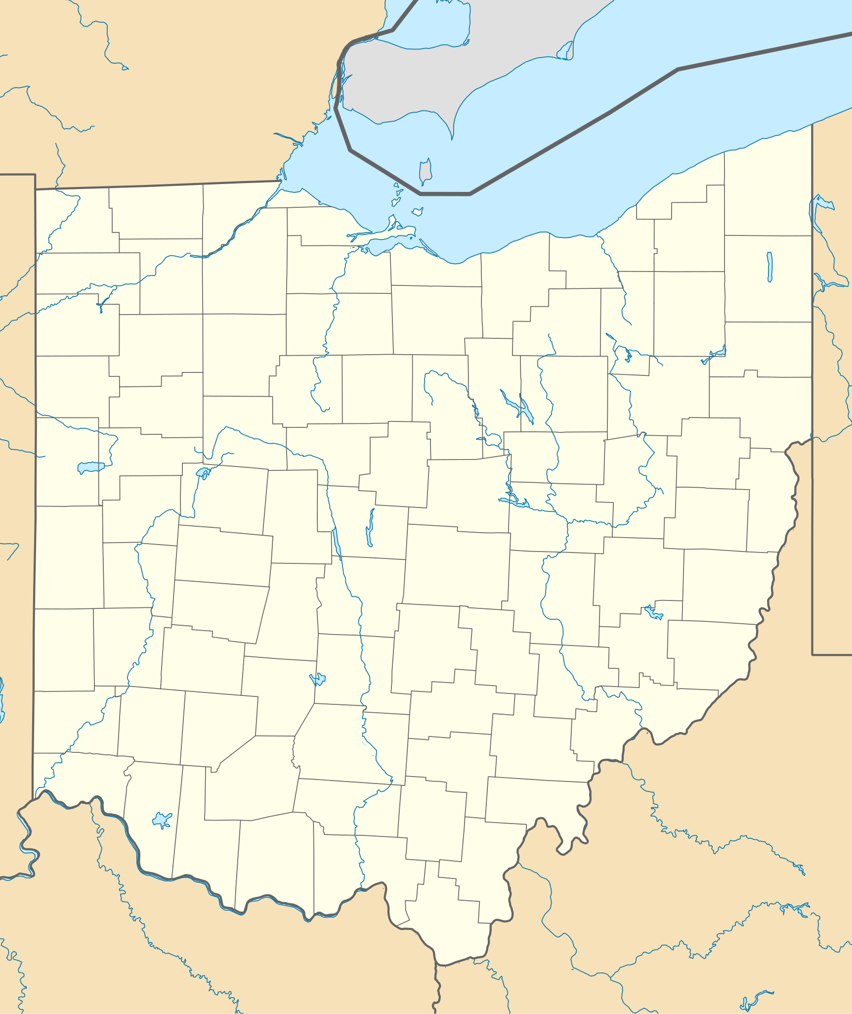
Quadratische Plattkarte, N-S-Streckung 130.0 %. Geographische Begrenzung der Karte:
Equirectangular projection, N/S stretching 130.0 %. Geographic limits of the map:
|
| तारीख | |
| स्रोत | आपन रचना |
| लेखक | Alexrk2 |
| Other versions |
Derivative works of this file: BMO Harris Bank 2012-06.png Derivative works of this file: |

|
This map has been made or improved in the German Kartenwerkstatt (Map Lab). You can propose maps to improve as well.
|
लाइसेंसिंग
I, the copyright holder of this work, hereby publish it under the following licenses:

|
जीएनयू फ्री डाकुमेंटेशन लाइसेंस, वर्जन 1.2 या फिर कौनो भी बाद के प्रकाशित फ्री साफ्टवेयर फाउंडेशन लाइसेंस के शर्त के तहत, एह डाकुमेंट के नकल करे, बितरण करे आ/भा बदलाव करे के परमीशन दिहल गइल बा; एह में इनवैरिएंट खंड सभ नइखे शामिल, मुखपृष्ट के पाठ नइखे शामिल, आ बैक-कभर के पाठ नइखे शामिल। लाइसेंस के एगो प्रति जीएनयू फ्री डाकुमेंटेशन लाइसेंस नाँव के खंड में दिहल गइल बा। |
This file is licensed under the Creative Commons Attribution 3.0 Unported license.
- आप फ्री बानी:
- साझा करे खातिर – रचना के नकल करे, बाँटे आ दुसरी जगह भेजे खातिर
- रीमिक्स करे खातिर – काम के अपनी हिसाब से बनावे खातिर
- नीचे दिहल कारणन की तहत:
- एट्रीब्यूशन – लाइसेंस के कड़ी दे के उचित श्रेय (क्रेडिट) दिहल जरूरी बा आ अगर कौनों बदलाव कइल गइल बा तब ओहू के बतावल जाए के चाहीं। आप ई काम कौनों उचित तरीका से क सकत बानी, बाकी ई न झलके के चाहीं की जेकरा लगे लाइसेंस बा ऊ राउर चाहे राउर काम के समर्थन करत बाटे या सही बतावत बा।
रउआँ अपनी जरूरत के लाइसेंस बीछ सकत बानीं।
फाइल के इतिहास
ओ समय ई फाइल कइसन लउके ई देखे खातिर कौनों तारीख/समय पर क्लिक करीं।
| तारीख/समय | चिप्पी रूप | डाइमेंशन | प्रयोगकर्ता | टिप्पणी | |
|---|---|---|---|---|---|
| वर्तमान | 19:16, 26 जून 2009 | | 1,010 × 1,200 (455 KB) | Alexrk2 | == Beschreibung == {{Information |Description= {{de|Positionskarte von Ohio, USA}} Quadratische Plattkarte, N-S-Streckung 130.0 %. Geographische Begrenzung der Karte: * N: 42.5° N * S: 38.2° N * W: 85.0° W * O: 80.3° W {{en|Lo |
फाइल के उपयोग
फाइल के इस्तेमाल 2 पन्ना करत बाड़ें:
बैस्विक फाइल उपयोग
नीचे दिहल अउरी विकिसभ पर एह फाइल के इस्तेमाल हो रहल बा:
- af.wikipedia.org पर इस्तेमाल
- an.wikipedia.org पर इस्तेमाल
- ar.wikipedia.org पर इस्तेमाल
- azb.wikipedia.org पर इस्तेमाल
- کنت، اوهایو
- اکران، اوهایو
- همیلتون، اوهایو
- الیریا، اوهایو
- آکسفورد، اوهایو
- راونا، اوهایو
- اورورا، اوهایو
- استریتسبورو، اوهایو
- پنکوستبرق، اوهایو
- کاناقا، اوهایو
- وایتس لندینق، اوهایو
- لیک توماهاک، اوهایو
- لیک باکهورن، اوهایو
- ویلیامزدیل، اوهایو
- کریستال راک، اوهایو
- سینمون لیک، اوهایو
- پلینویل، اوهایو
- بیولا بیچ، اوهایو
- نیو رم، اوهایو
- هاید اوی هیلز، اوهایو
- پاتری ادیشن، اوهایو
- دولا، اوهایو
- آرنولد، اوهایو
- کوک، اوهایو
- هومورت، اوهایو
- لیک لورلی، اوهایو
- فزنت ران، اوهایو
- مورقندیل، اوهایو
- والنات کریک، اوهایو
- مکینلی هایتس، اوهایو
- فور بریجز، اوهایو
- هالیدی لیکس، اوهایو
- وایتمنز قروو، اوهایو
- راکی فورک پوینت، اوهایو
- هایلند هالیدی، اوهایو
- لیک واینوکا، اوهایو
- لیک موهاک، اوهایو
- باتسم، اوهایو
- فلت راک، اوهایو
एह फाइल के अउरी बैस्विक इस्तेमाल देखीं