चित्र:USA Utah location map.svg

Size of this PNG preview of this SVG file: 505 × 600 पिक्सेल. अउरी रिजोल्यूशन: 202 × 240 पिक्सेल | 404 × 480 पिक्सेल | 647 × 768 पिक्सेल | 862 × 1,024 पिक्सेल | 1,724 × 2,048 पिक्सेल | 868 × 1,031 पिक्सेल.
ओरिजनल फाइल (एसवीजी फाइल, नॉमिनली 868 x 1,031 पिक्सल, फाइल के आकार: 175 KB)
सारांश
| बिबरण |
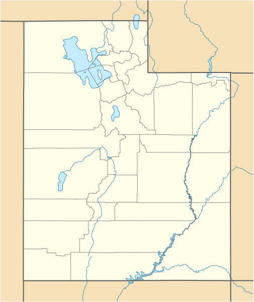
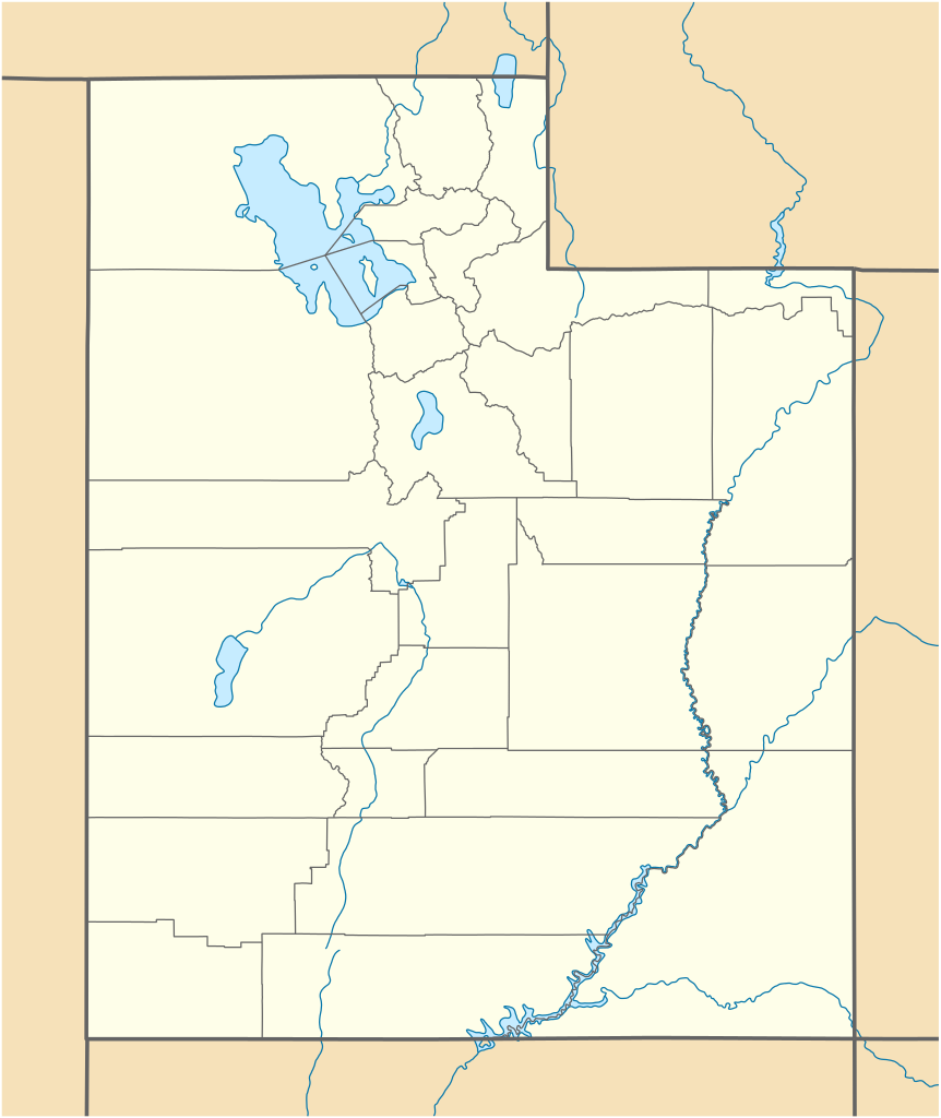
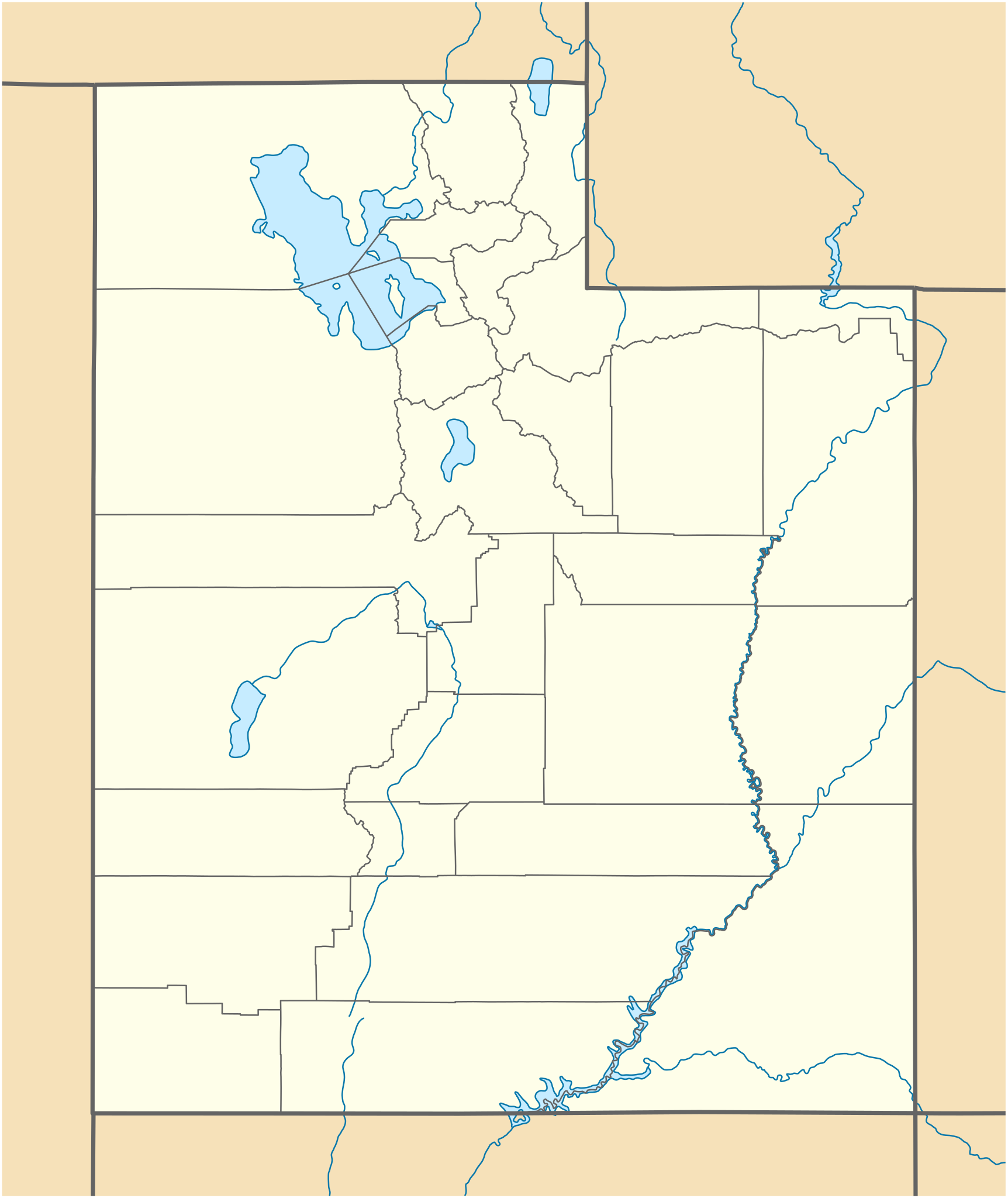
Quadratische Plattkarte, N-S-Streckung 125 %. Geographische Begrenzung der Karte:
Equirectangular projection, N/S stretching 125 %. Geographic limits of the map:
|
| तारीख | 09-06-2009 |
| स्रोत |
own work, using
|
| लेखक | NordNordWest |
| Other versions |
Derivative works of this file: |

|
This map has been made or improved in the German Kartenwerkstatt (Map Lab). You can propose maps to improve as well.
|
लाइसेंसिंग
I, the copyright holder of this work, hereby publish it under the following licenses:

|
जीएनयू फ्री डाकुमेंटेशन लाइसेंस, वर्जन 1.2 या फिर कौनो भी बाद के प्रकाशित फ्री साफ्टवेयर फाउंडेशन लाइसेंस के शर्त के तहत, एह डाकुमेंट के नकल करे, बितरण करे आ/भा बदलाव करे के परमीशन दिहल गइल बा; एह में इनवैरिएंट खंड सभ नइखे शामिल, मुखपृष्ट के पाठ नइखे शामिल, आ बैक-कभर के पाठ नइखे शामिल। लाइसेंस के एगो प्रति जीएनयू फ्री डाकुमेंटेशन लाइसेंस नाँव के खंड में दिहल गइल बा। |
This file is licensed under the Creative Commons Attribution 3.0 Unported license.
- आप फ्री बानी:
- साझा करे खातिर – रचना के नकल करे, बाँटे आ दुसरी जगह भेजे खातिर
- रीमिक्स करे खातिर – काम के अपनी हिसाब से बनावे खातिर
- नीचे दिहल कारणन की तहत:
- एट्रीब्यूशन – लाइसेंस के कड़ी दे के उचित श्रेय (क्रेडिट) दिहल जरूरी बा आ अगर कौनों बदलाव कइल गइल बा तब ओहू के बतावल जाए के चाहीं। आप ई काम कौनों उचित तरीका से क सकत बानी, बाकी ई न झलके के चाहीं की जेकरा लगे लाइसेंस बा ऊ राउर चाहे राउर काम के समर्थन करत बाटे या सही बतावत बा।
रउआँ अपनी जरूरत के लाइसेंस बीछ सकत बानीं।
फाइल के इतिहास
ओ समय ई फाइल कइसन लउके ई देखे खातिर कौनों तारीख/समय पर क्लिक करीं।
| तारीख/समय | चिप्पी रूप | डाइमेंशन | प्रयोगकर्ता | टिप्पणी | |
|---|---|---|---|---|---|
| वर्तमान | 15:34, 15 जून 2015 | | 868 × 1,031 (175 KB) | NordNordWest | Reverted to version as of 12:08, 12 December 2010; please upload it as a new file |
| 14:48, 15 जून 2015 |  | 868 × 1,031 (289 KB) | Prinsgezinde | Reverted to version as of 14:44, 15 June 2015 | |
| 14:47, 15 जून 2015 |  | 868 × 1,031 (289 KB) | Prinsgezinde | As per revert | |
| 14:44, 15 जून 2015 |  | 868 × 1,031 (289 KB) | Prinsgezinde | Reverted to version as of 06:39, 12 December 2010 - Unhelpful revert, change was requested and is appreciated | |
| 12:08, 12 दिसंबर 2010 |  | 868 × 1,031 (175 KB) | NordNordWest | no discussion, no change | |
| 06:39, 12 दिसंबर 2010 |  | 868 × 1,031 (289 KB) | Moabdave | Added inset to show location of Utah. Inset derived from File:Map_of_USA_UT.svg. Change made per request at FAC for en:Thistle Utah. | |
| 18:09, 9 जून 2009 |  | 868 × 1,031 (175 KB) | NordNordWest | {{Information |Description= {{de|Positionskarte von Utah, USA}} Quadratische Plattkarte, N-S-Streckung 125 %. Geographische Begrenzung der Karte: * N: 42.4° N * S: 36.6° N * W: 114.6° W * O: 108.5° W {{en|Location map of [[:en |
फाइल के उपयोग
फाइल के इस्तेमाल 3 पन्ना करत बाड़ें:
बैस्विक फाइल उपयोग
नीचे दिहल अउरी विकिसभ पर एह फाइल के इस्तेमाल हो रहल बा:
- an.wikipedia.org पर इस्तेमाल
- ar.wikipedia.org पर इस्तेमाल
- ast.wikipedia.org पर इस्तेमाल
- azb.wikipedia.org पर इस्तेमाल
- کانیون ریم
- ولف کریک، یوتا
- اقنوق، یوتا
- بالفراق، یوتا
- بریل، یوتا
- داک کریک ویلج، یوتا
- لاپوینت، یوتا
- ماونت کارمل جانکشن، یوتا
- اسکدیل، یوتا
- باربانک، یوتا
- مودنا، یوتا
- لاند، یوتا
- قروور، یوتا
- بلومینقتون، یوتا
- کرویدون، یوتا
- وست وبر، یوتا
- قرینویل، یوتا
- کالاو، یوتا
- آدامزویل، یوتا
- مونتاین هوم، یوتا
- آجاکس، یوتا
- واهساچ، یوتا
- تالمئیج، یوتا
- آلتامونت، یوتا
- وارن، یوتا
- واشاکی، یوتا
- آلتوناه، یوتا
- ترئیس، یوتا
- آلونیت، یوتا
- آمریکان فورک، یوتا
- تیکابو، یوتا
- آپل والئی، یوتا
- ورای، یوتا
- آورورا، یوتا
- آکستل، یوتا
- امیقراشن کانیون، یوتا
- پارک والئی، یوتا
- پارتون، یوتا
- تریدل، یوتا
- تروت کریک، یوتا
- وزت والئی سیتی، یوتا
- پنروز، یوتا
- توکر، یوتا
- پترزون، یوتا
एह फाइल के अउरी बैस्विक इस्तेमाल देखीं